We split the message across two videos rather than asking one video to do both jobs.
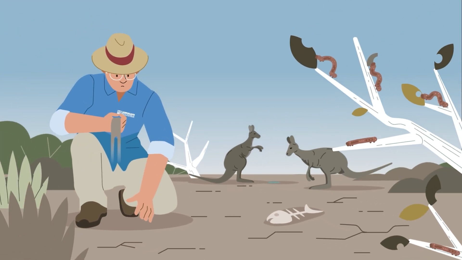
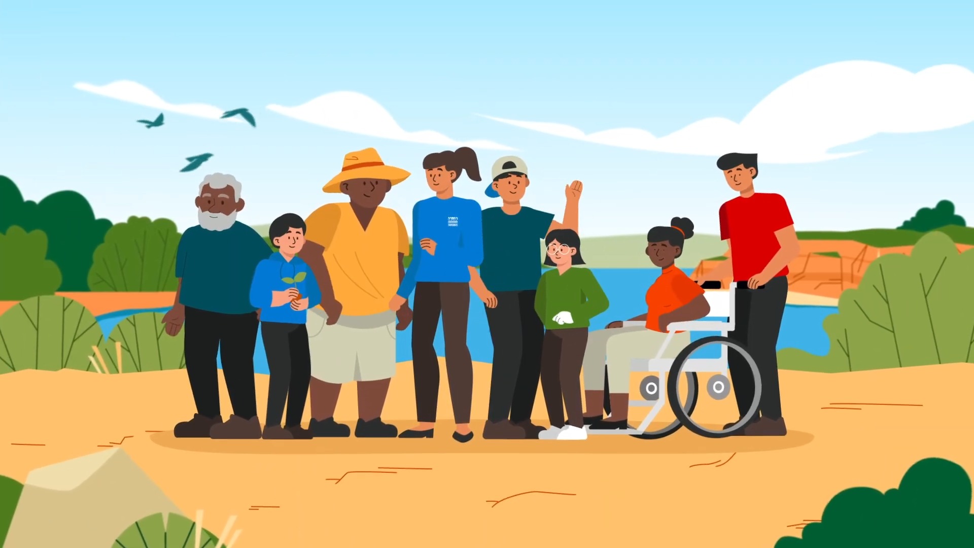
The first video moves from what makes the region distinct to the drought, flood and biodiversity loss already reshaping it, closing on an invitation to get involved locally. Its landscapes were built to reflect the region accurately, using plants specifically grown in different parts of the Murraylands and Riverland rather than generic Australian scenery.
The scripts also leave out the specific figures gathered for the project, including drought years, flood records and projected heat-day counts, carrying that detail through the visuals instead. Given how wide the audience was, a script anchored to specific data points risked becoming too dense or landing differently depending on who was watching.
Video two showcases the Board’s work directly, naming five concrete actions the Board is taking, from removing pastoral dams to restoring wetland cycles, and linking that work to the landscape levy that funds it.
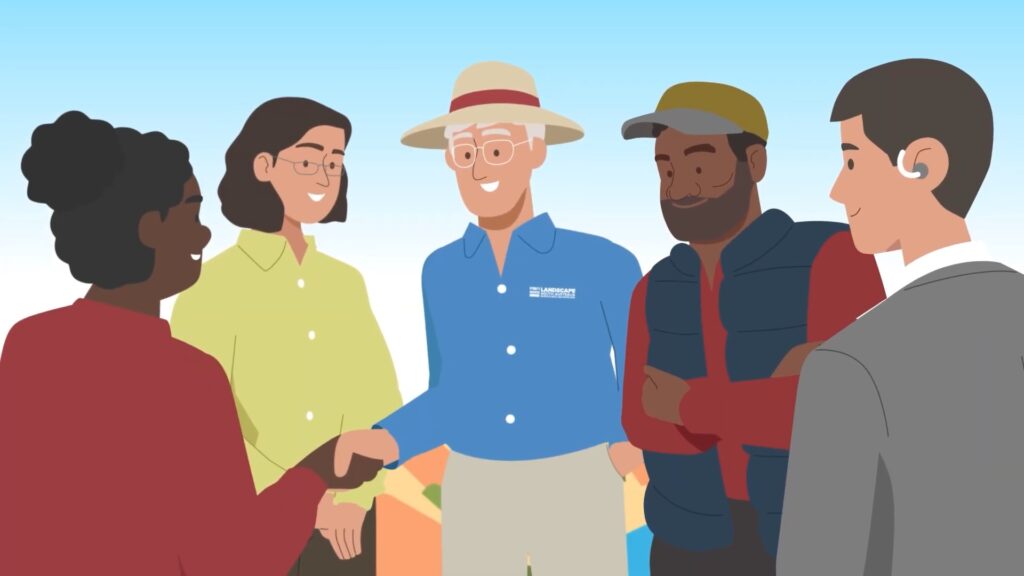
Together, the two animations give the Board a plain-language explainer and a specific, accountable strategy piece, both written to hold up across the full audience range, from community members to government stakeholders.